Frequently Asked Questions
Overview
General Overview
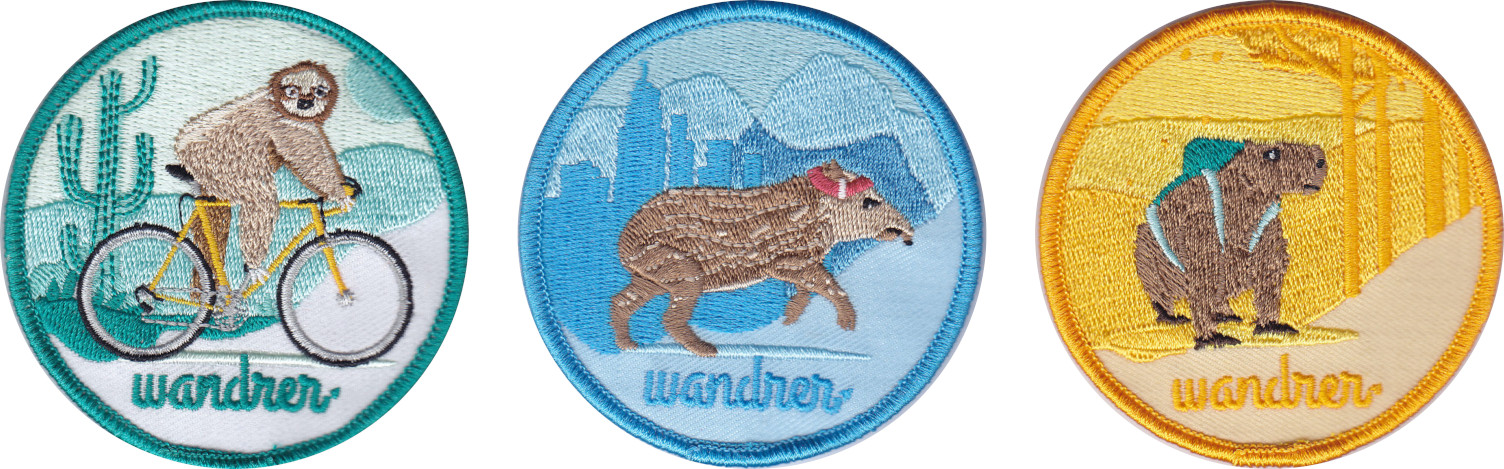
We sell Wandrer-branded stickers and patches at store.wandrer.earth. You can access this link through the footer on our website. Proceeds help us improve Wandrer!
Scoring
Scoring Overview
- Travel on new roads. 1 mile = 1 point.
- Complete Achievements.
Explorer Achievements
| Percentage Completed | Points Bonus |
|---|---|
| 25% | 25% bonus |
| 50% | 5% bonus |
| 75% | 10% bonus |
| 90% | 50% bonus |
| 99% | 10% bonus |
Explorer Achievements predominantly come from OpenStreetMap data. We also use local GIS departments to get neighborhood and city boundaries when that data is not availble in OpenStreetMap.
We'd love to add more Explorer Achievements where they're sparse. If you reach out to Craig, he can help you add more neighborhoods, city boundaries, or long-distance trails to your area. If you've already identified the data, that will greatly help us get the Explorer Achievements added!
Monthly and Yearly Challenges
Activities
Activity Processing
- Bike: Ride, EBikeRide, Handcycle, Velomobile
- Foot:Hike, Walk, Run, Snowshoe, Wheelchair, NordicSki
- Has the activity been uploaded to and processed by Strava? If it's not on Strava, then Wandrer can't process it.
- Has Wandrer downloaded the activity from Strava? This information is available on the Settings page in the "Linked Accounts" section. If you have no activities that have been downloaded from Strava but are unprocessed, select the "Check for activities" link to trigger a search for missing activities.
The Map
Map Navigation
Map Rules and Data
- Nodes: single point geographic locations defined by a latitude and longitude.
- Ways: multiple connected nodes labeled by descriptive tags. Relevance to Wandrer: roads and trails are encoded as ways in OpenStreetMap.
- Relations: complex shapes defined by a set of nodes, ways, and/or relations that are related. Relevance to Wandrer: long-distance trails and bike routes are encoded as relations.
- Based on Wandrer's filtering rules for the Bike / Foot map, should the road be included or excluded in the Bike / Foot map?
- Are the OSM tags on the road accurate? Common example: does an access tag need to be added to indicate private access?
- Was the road recently edited? Does the Wandrer map need to be updated to incorporate any recent changes?
- The road is not included in the Wandrer Foot / Bike Map because it is not legally accessible by bike / on foot. Use the Untraveled Roads layer to see which roads in your region are in our database that you have not traveled.
- You traveled the road by bicycle but are viewing the Wandrer Foot Map (or vice versa).
- The OpenStreetMap data for that road is accurate but the Wandrer map for the region needs to be updated.
- The OpenStreetMap data for that road needs to be updated followed by a Wandrer map update for the region.
- Your GPS points from traveling on that road matched to a parallel road. Contact us if you think this has happened to you.
Extra Lost Features
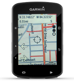
GPS Computer Maps
You can download maps that highlight your untraveled roads on a Wahoo or Garmin GPS computer. You can also export in the KML/KMZ style for import into other mapping software, such as Google Earth. A Wandrer app is available for Hammerhead Karoo devices with a SIM card. These local maps / apps allow you to see your untraveled roads "on the fly", which means you can pick up extra miles without planning a dedicated route.
Wandrer Browser Extension
The Wandrer Browser Extension allows you to view your Wandrer data in several popular route planning tools to help you maximize new roads during your walks/runs/rides. We have extensions for both Chrome and Firefox.
The extension works with tools such as RideWithGPS, Strava, Komoot, Garmin Connect, Plotaroute, BikeRouter/BRouter, MapMyRide/MapMyRun, Bikemap, and dynamicWatch.